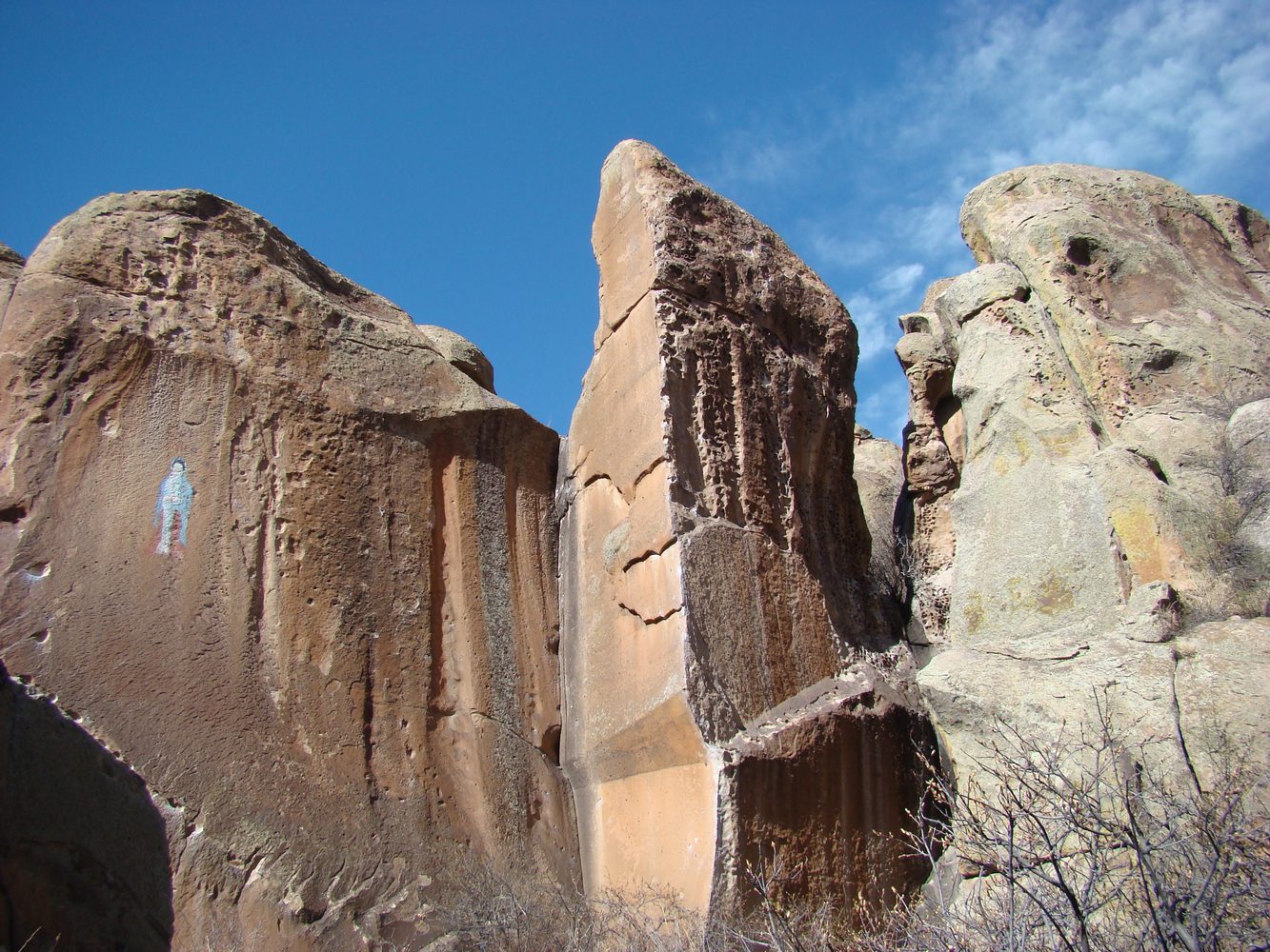
La Garita & Penitente Canyon
A scenic San Luis Valley drive to historic La Garita and the BLM Penitente Canyon access roads, with volcanic canyon views and room to hike when you park.
Photo gallery
About this trip
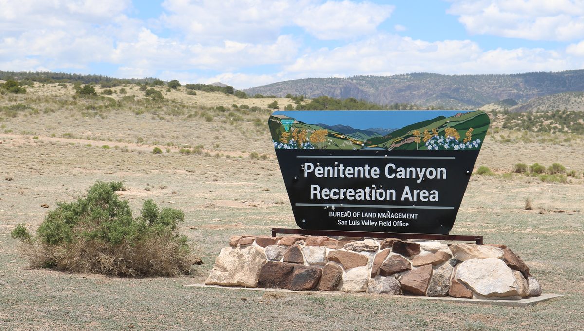
This is a scenic county-road outing in Colorado's San Luis Valley. You drive to the small community of La Garita, then follow published BLM directions onto County Road 38A to the Penitente Canyon Special Recreation Management Area entrance.
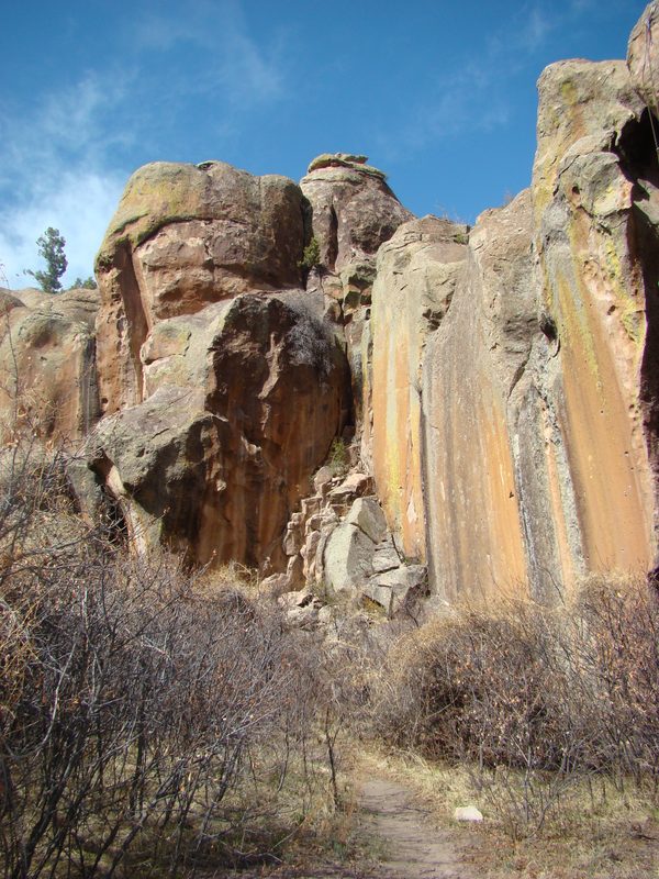
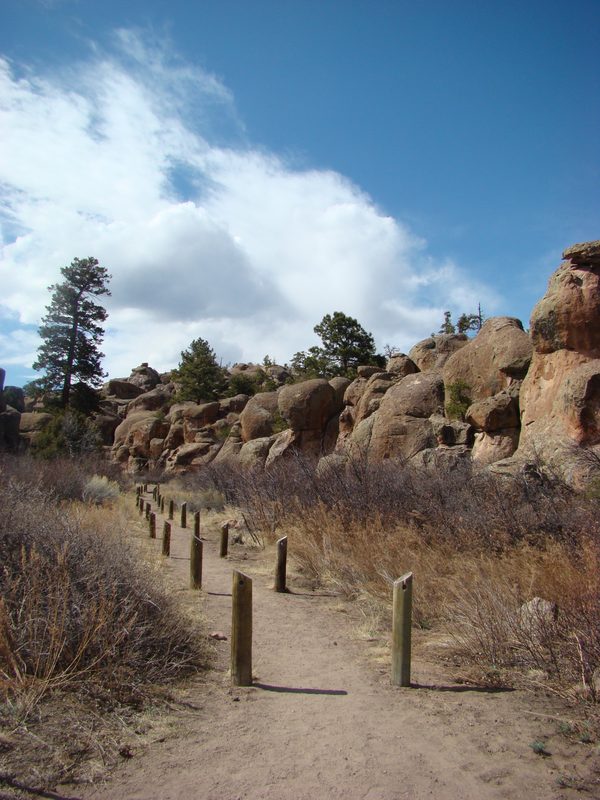
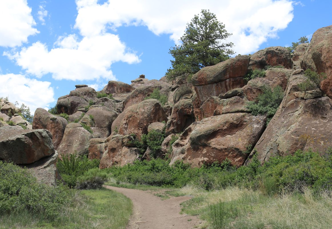
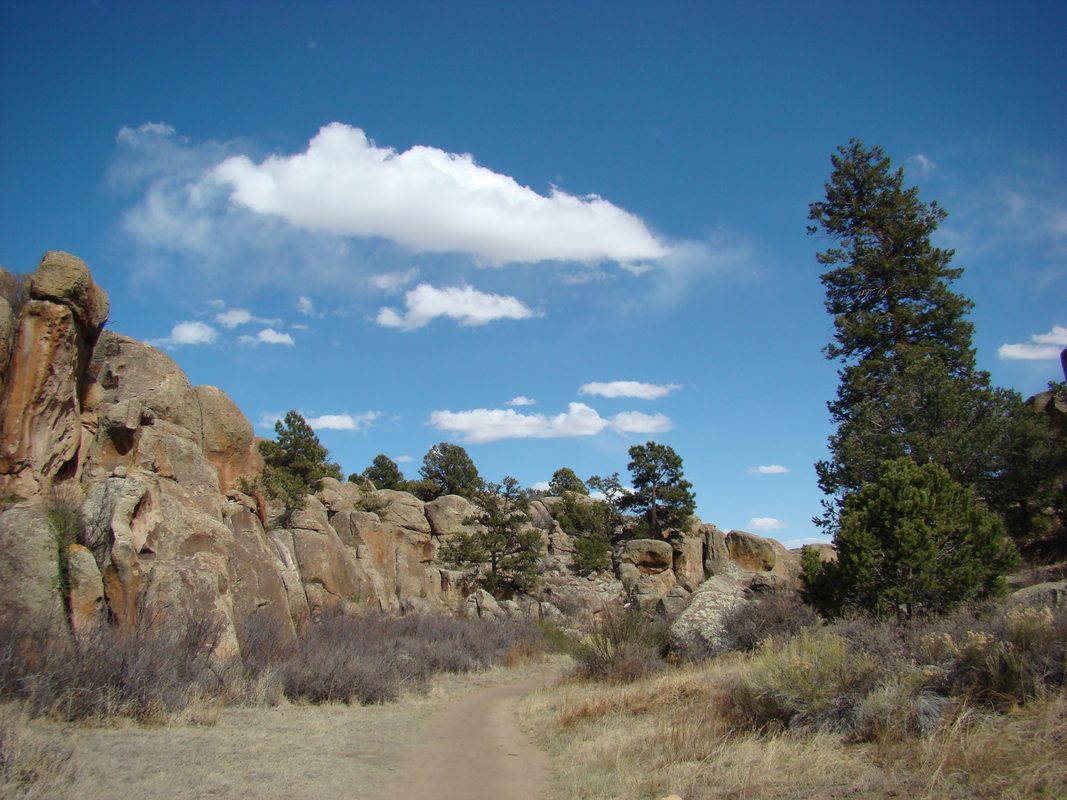
Penitente Canyon itself is a 4,552-acre BLM recreation area known for volcanic rock, climbing, hiking, and mountain biking. Motorized vehicles may use designated roads only. The canyon trails are non-motorized. Park, then explore on foot or bike where the signs allow.
- Volcanic Fish Canyon tuff cliffs and boulders at Penitente Canyon
- Historic La Garita area on the way in from U.S. 285
- Graded county gravel and dirt access roads (conditions change)
- Hiking, photography, and rock climbing after you park
- Developed and dispersed camping options per BLM rules (reservations on recreation.gov for the campground)
- Wide San Luis Valley and San Juan mountain views from the valley floor approaches
Map
Route map coming soonDirections are below.
Suggested itinerary (access steps)
Mileages below are the official approach segments from BLM and Visit Rio Grande County, not a full loop odometer.
- 1From U.S. 285: Turn west onto Saguache County Road G.
- 2Toward La Garita: In about six to six-and-a-half miles you pass the La Garita Trading Post.
- 3Y-intersection: About a half mile farther, take the left fork onto County Road 38A.
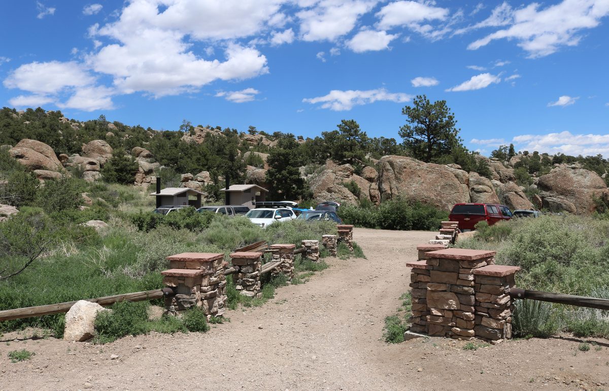
- 4Recreation area entrance: In approximately another half mile, the Penitente Canyon entrance is on your right.
- 5Park and explore: Use designated roads only if you continue driving inside the SRMA. Trails are for hiking, mountain bikes, and horses as posted.
- 6Optional other approach: From Del Norte, BLM describes northwest travel on Highway 112 to road 38A, then north on 38A about 8 miles to the signs for Penitente Canyon.
Tips & safety
- Drinking water at the entrance well house is typically available May through October (BLM).
- Campground sites (15 single, 2 group) must be reserved at recreation.gov. Dispersed camping only where allowed; not in day-use parking or Rock Garden.
- No firewood cutting or gathering. Use existing fire rings where camping is allowed.
- Bring layers, a paper map backup, and recovery basics suited to gravel roads after storms.
- Gear tip (affiliate): a compact tire inflator is handy after dirt-road pressure changes. Example: portable tire inflator on Amazon. We may earn a commission at no extra cost to you.
Last reviewed: October 15, 2026.
BLM Penitente Canyon visit page
BLM 2023 Penitente Canyon SRMA brochure (PDF)
Visit Rio Grande County: Penitente Canyon
Photos: BLM public-domain uploads on Wikimedia Commons; Jeffrey Beall photos under CC BY 4.0.
Related adventures

Complete overland adventures for the vehicle you actually own. Routes are researched from official sources and reviewed before we publish them.
As an Amazon Associate we earn from qualifying purchases.